After getting the CNC router set up, I asked myself "what would be a cool project?"
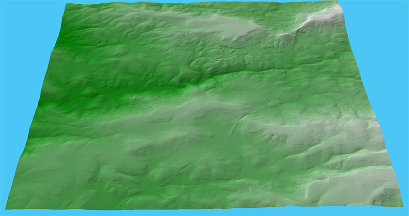
I decided to make a topographic map of our area
The data came from the US Geological Survey, National Elevation Dataset, 1/3 arc-second resolution
The data file formats were very confusing and obscure, and it took a while to figure out how to use them
Once I got the data into CAD, I was able to compute a CNC toolpath
The USGS topo data in the CAD program
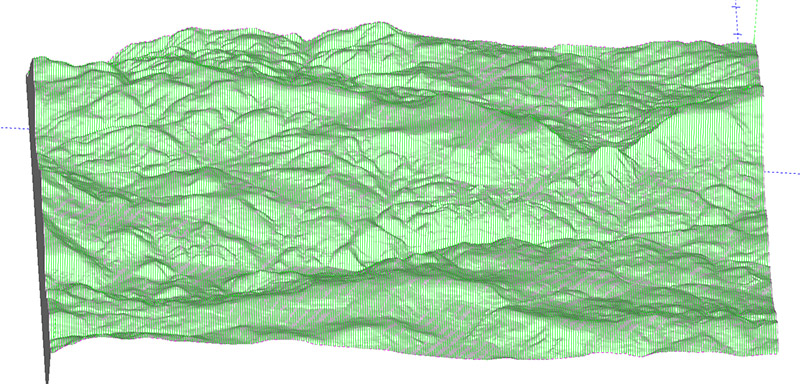
The finish toolpath in the CAM program
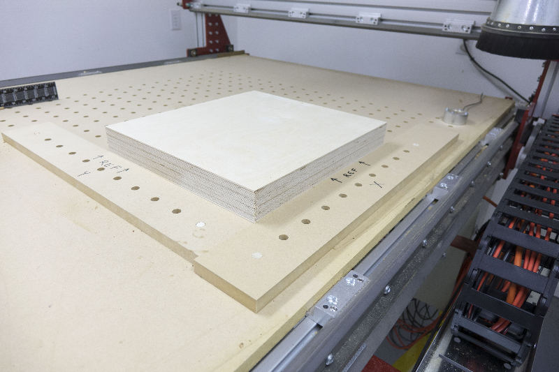
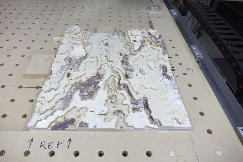
The blank was laminated from a 3/4" MDF base with two 1/2" baltic birch pieces on top
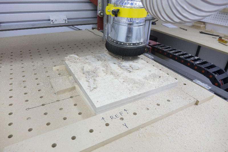
Start rough cutting
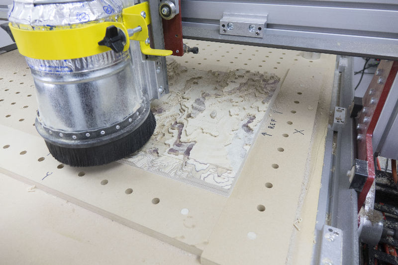
After rough cutting
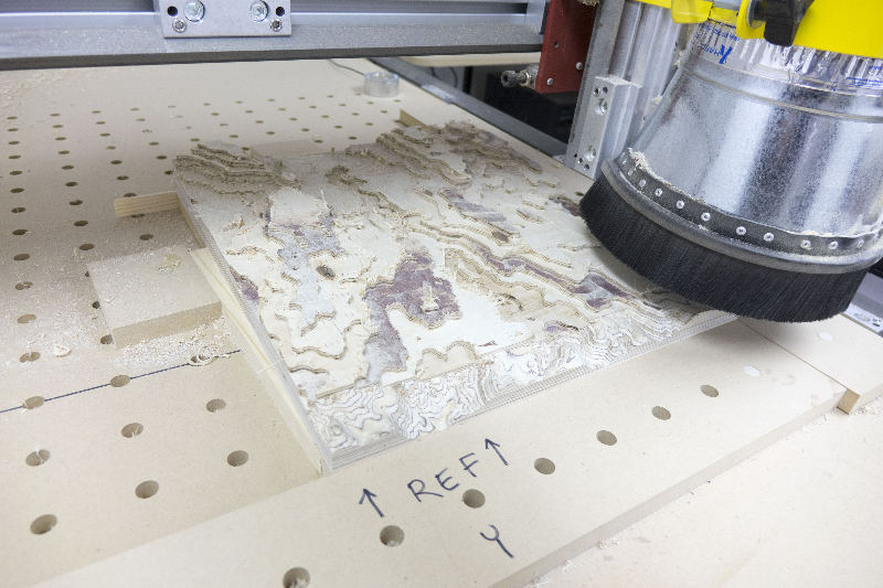
Start finish cutting
The bit was 1/4", solid carbide, tapered to a 1/16" ball end
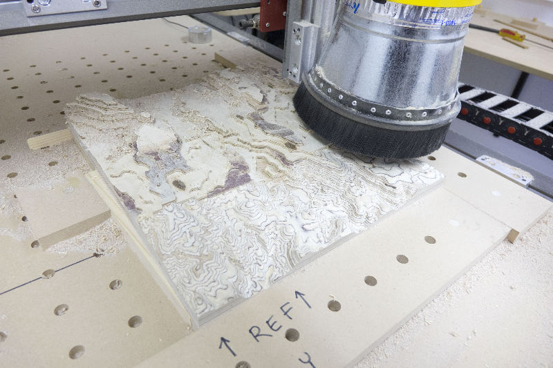
Each pass advanced 0.30"
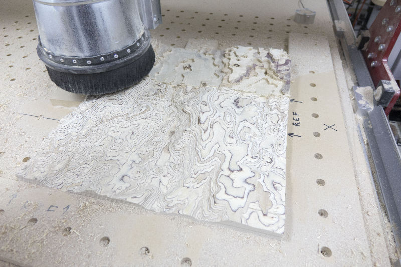
Milling took about 6 hours
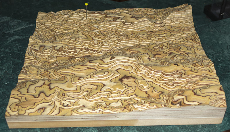
The finished map, with a pin marking my property location